Monitor Ridge – Part 1
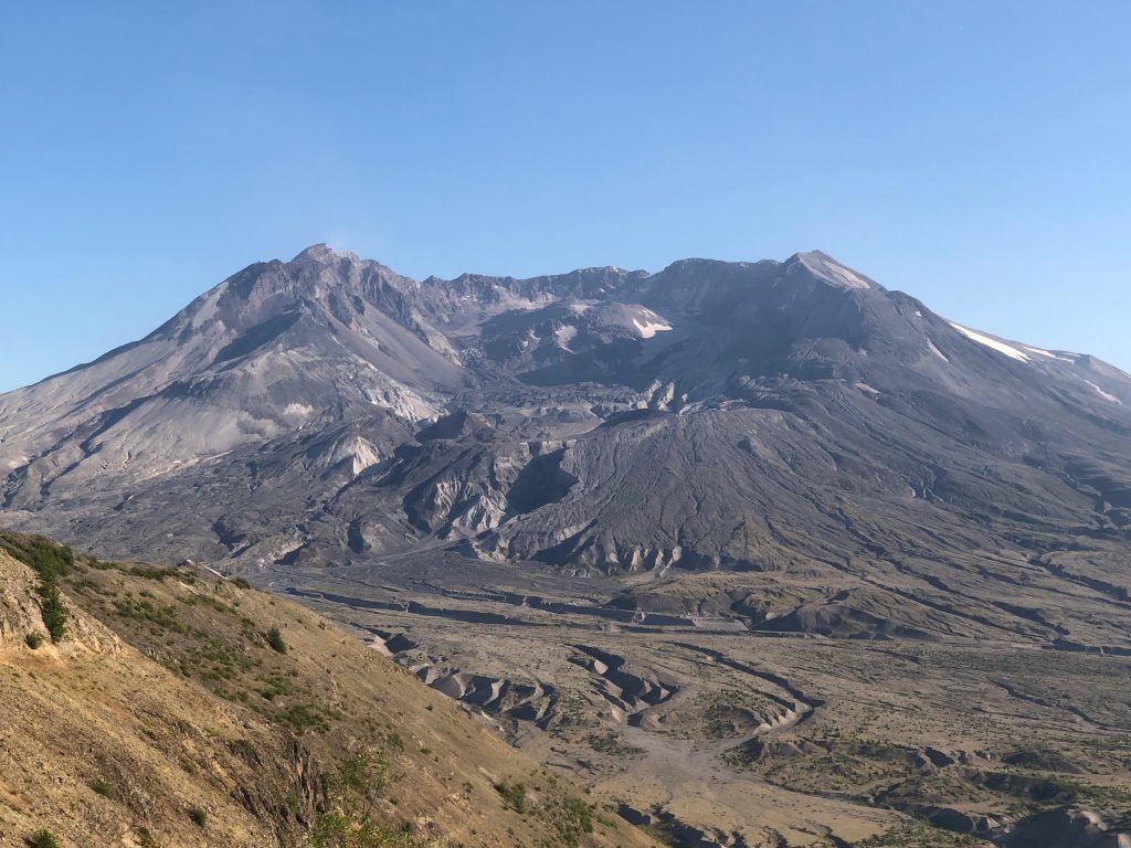
Mount St. Helens is 8,366’ of badass stratovolcano. She may not be the tallest volcano out there, but her slopes are steep and slippery. And did I mention that she’s active? At any moment, the volcano could hiccup and cause an ash explosion, pyroclastic flow, rockfall, or landslide. So, naturally, I wanted to climb to the very top!
If you’d have told me as a kid, watching the eruption footage, that I’d ever have the opportunity to climb to Mount St. Helens’ summit, I never would have believed it. But on a sunny Tuesday in August, that was exactly what I was planning to do.
There are two ways to summit Mount St. Helens:
1) The Worm Flows (Winter Route)
2) Monitor Ridge (Summer Route)
We opted for the Monitor Ridge route which starts on the south side of the volcano’s cone and zips straight up the volcano’s spine. We purchased our permits the moment they went on sale in March, which is what enabled us to have them attached to our packs that Tuesday morning. If you want to tackle this hike, you must have a permit. Only 100 permits per day are allowed during the summer months.
Volcano Hopper Tip: If you want to obtain a permit, you need to be online the moment they go on sale. Permits for the summer sold out in 15 minutes flat this year! You can find permits at Recreation.gov.
The Monitor Ridge route is tough, but not technical. Here is a list of gear that you must have if you’re going to brave the climb:
- At least 4 Liters of water + gatorade (or some sort of electrolytes).
- Food. I carry a variety of jerky, apples, protein bars, sports jelly beans, and trail mix. Those M&M’s can perk your spirit right up when you get tired!
- Hiking shoes.
- Hiking Poles. These are extremely helpful with maintaining your balance and helping to pull yourself up the steep sections.
- Gloves. These will protect your hands when you go boulder scrambling. (And you willscramble.)
- Hat, sunscreen, and sunglasses. There is zero shade once you get past treeline and the sun is intense. Pick sunglasses that have some wrap to them, so that if the ash or snow starts flying, they protect your eyes.
- Warm Layers & Breathable Clothes. The summit might be 40 degrees colder than the trailhead, and weather conditions can change quickly. Be sure to have warm layers and rain gear!
- Face mask/bandana. Something to cover your nose and mouth if the wind starts blowing the ash around. You don’t want to breathe it. It’s like breathing ground up glass.
- Gaiters. You may want gaiters to cover your hiking boots. The ash is like sand and as you’re coming down the mountain, your boots will fill up and you’ll have to stop to empty them out.
- Toilet paper/shovel. There is a pit toilet at the trailhead, and one just before treeline. After that, you’re on your own.
- Headlamp. You never know when you might get caught out in the dark. Be prepared with several light sources and bring extra batteries.
- First Aid Kit. You never know when a boulder might take a chunk out of your arm, or you might twist an ankle on the ash.
- Compass. It’s easy to get turned around on a volcano.
- Camera. The sights are absolutely breathtaking and you never know what you’ll see, or how the volcano might show off.
Always be sure to pack for the conditions you will be hiking in. For a more detailed list of what you might need to scale Mount St. Helens, the Mount St. Helens Institute has a great list available here.
Above all, BE SAFE! If there are hazardous conditions, do NOT attempt to climb the volcano. The volcano isn’t going anywhere – probably – and you’ll have another chance to climb it. It’s not worth risking life or limb.
Luckily for us, the day we picked to climb Mount St. Helens was picture perfect. The sun was shining and there wasn’t a cloud in the sky. The temperature at the Climbers’ Bivouac Trailhead was in the 80’s by the time we started our adventure, which meant it was probably 40 degrees at the summit.
Our original plan had been to start hiking at 2:00 in the morning. That would allow us to get above treeline so that we could watch the sunrise. Well, scrap that plan!
For no reason that any medical professional can find (even to this day), I’d had a seizure the day before. (That adventure here.) Jason, Paul, Alex and I had sat down over some late-night Chick-fil-A and decided as a team that we couldn’t give up on the summit so easily. We had all been training for months, and permits were sold out for the rest of the summer. If we didn’t try that Tuesday, as planned, we didn’t go at all.
We made sure we had a working emergency beacon in hand and planned a great team hiking strategy. And if I so much as felt a twinge, I would get low to the ground immediately. The four of us would go as far as we felt we safely could, and if that meant the summit, all the better. But we all knew we needed to get our boots on the ground and at least say hello to the volcano.
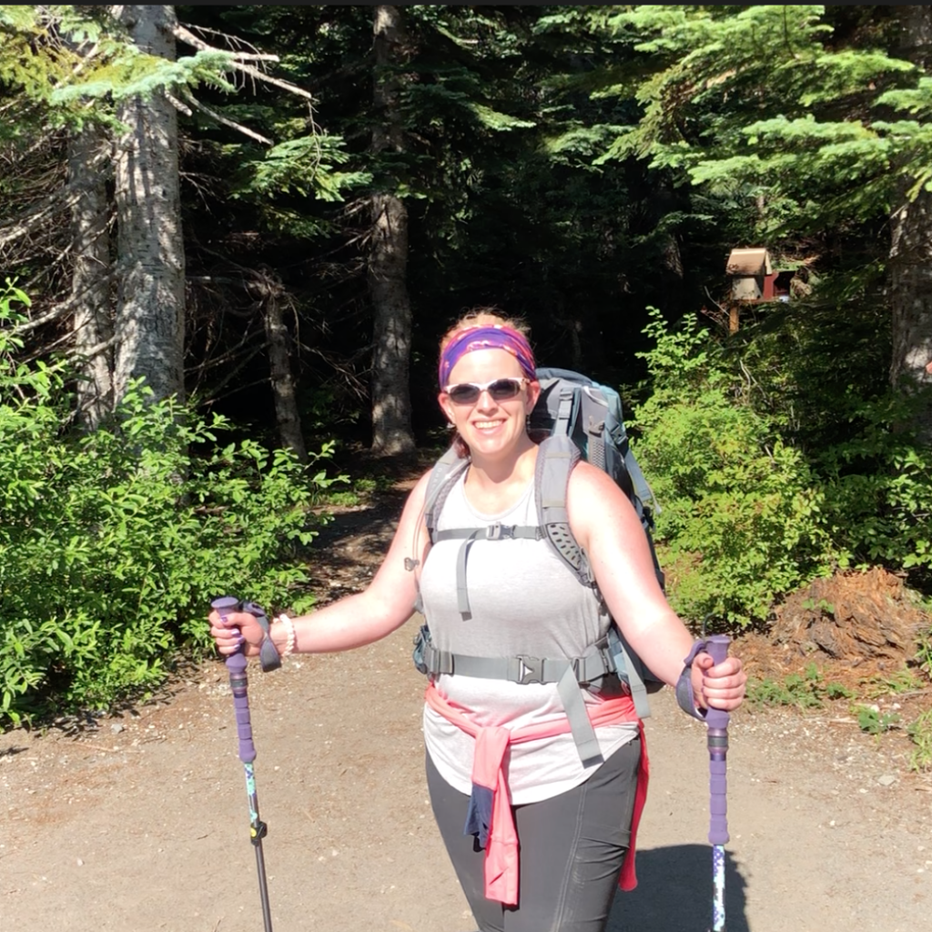
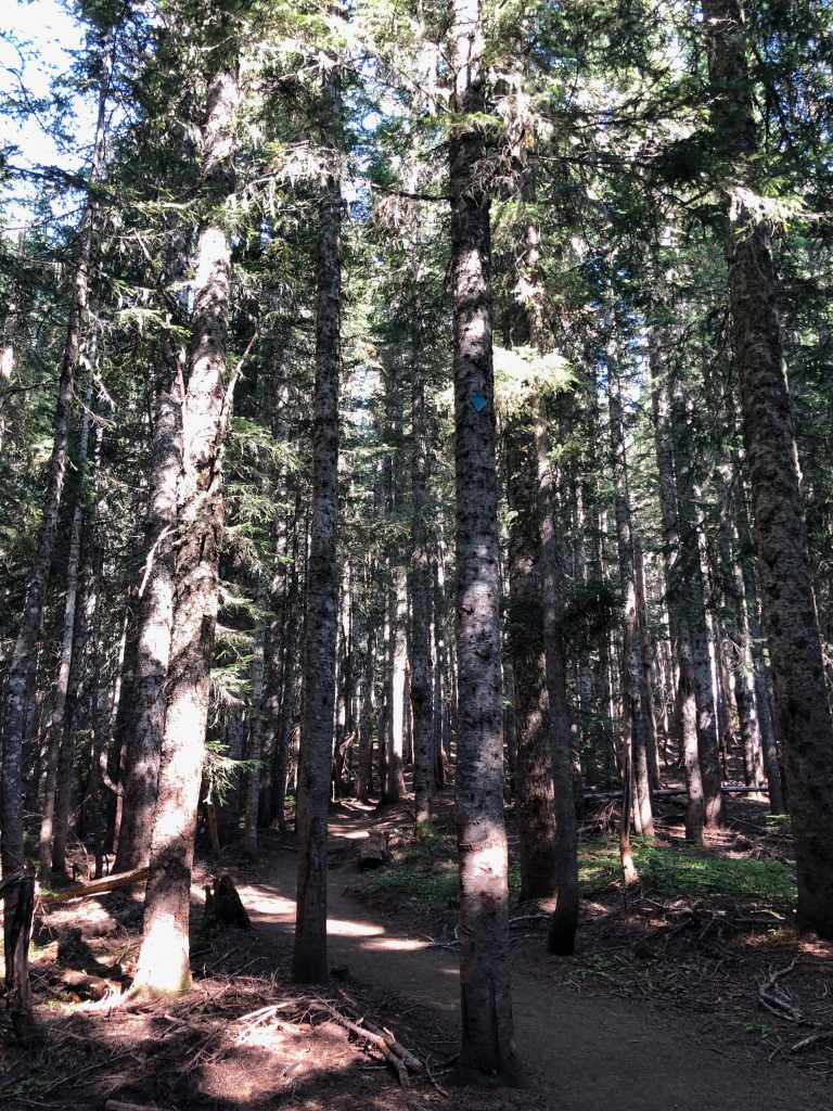
Parking the Jeep in the dirt lot along with several other cars, we scribbled our names in the register book at the Climbers’ Bivouac trailhead. Packs loaded and sunscreen applied, the four of us headed into the forest along the Ptarmigan Trail. It was cool and damp beneath the thick branches. Dew clung to the leaves and ran down the tree trunks. In places, the ferns were so thick that a cougar could be stalking you and you’d never know until it was too late. Flowers bloomed everywhere in small explosions of color. The dirt was soft beneath our boots and tree roots wound across the trail, creating steps up the steadily inclining path.
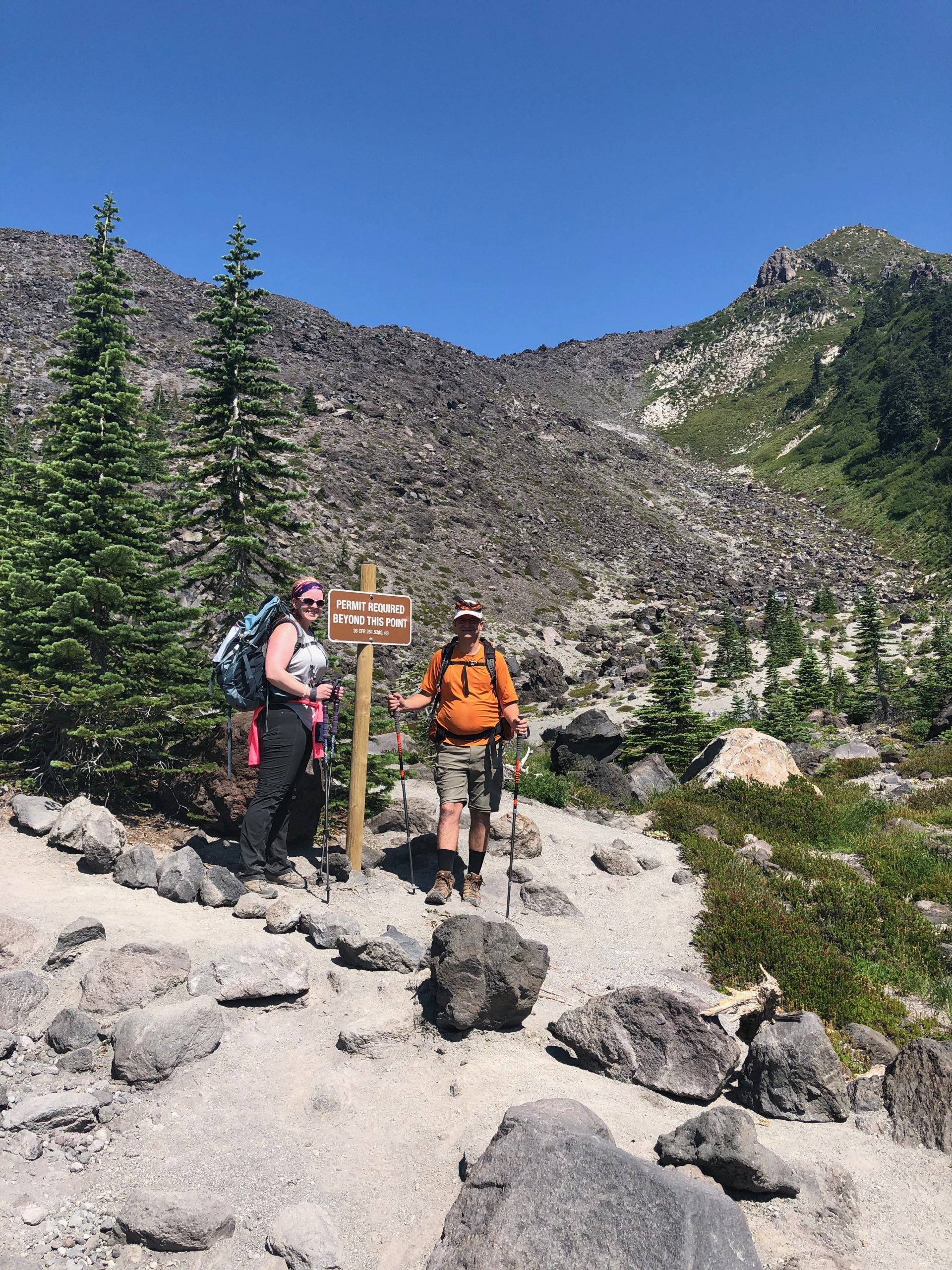
Suddenly the trees thinned out dramatically and we were deposited at the base of the boulder field. The Ptarmigan Trail splits here. The Loowit Trail continues to the east, wrapping around the base of the volcano. To the left, the Monitor Ridge trail begins and it plows straight up through the boulder field. This is as far as you can go without a permit. We had ours strapped visibly to our packs and were ready to forge onward!
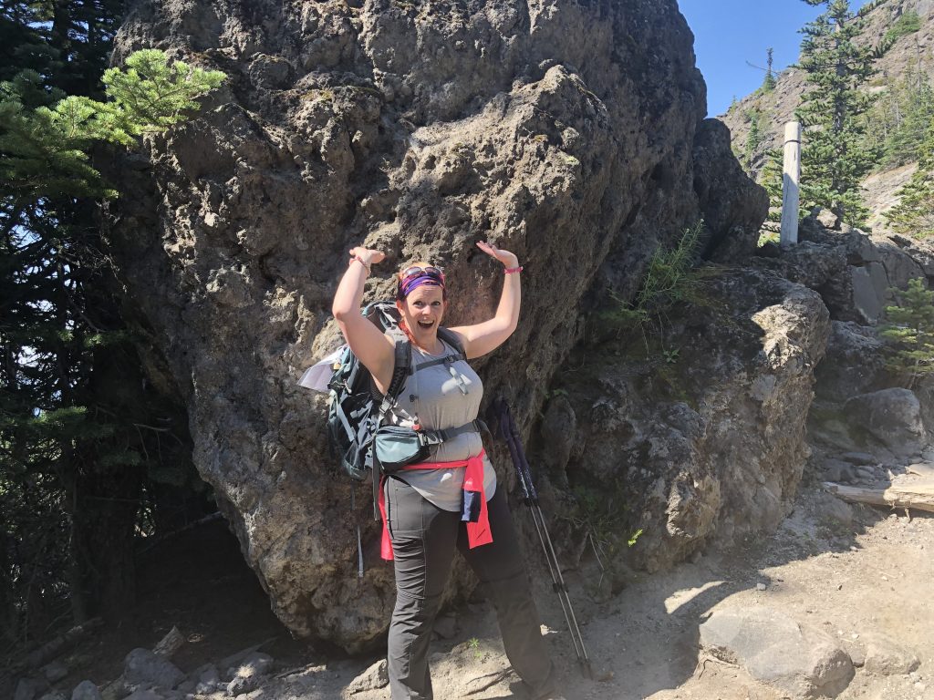
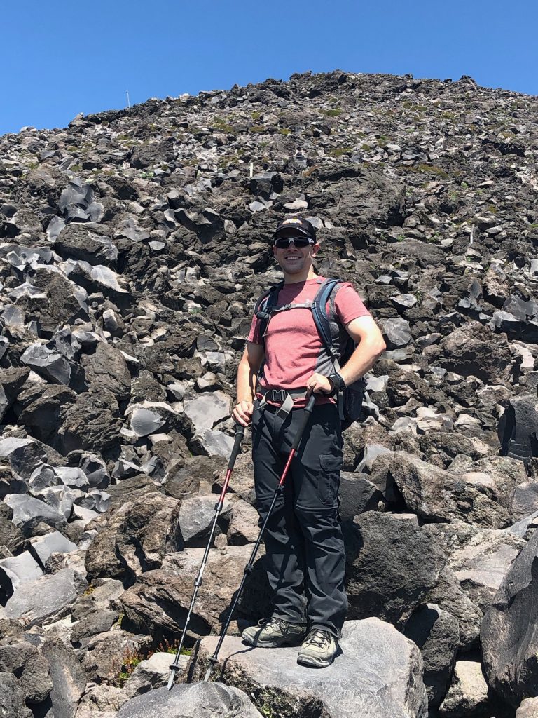
The boulder field is comprised of chunks of lava from old flows and eruptions. Some boulders were as big as my house! The easy incline of the forest trail was now gone. The hike from here on out would be straight up. The Monitor Ridge trail is about 5 miles long from the Climbers’ Bivouac to the summit, and the majority of the elevation gain is done in the last 2.5 miles. We had some steep trails ahead of us!
The path of least resistance through the boulder field is marked with wood cairns that stick straight up out of the black rocks. Every patch of ground between the boulders is filled in with slippery gray ash. My hiking poles helped me keep my balance and pull me up the incredibly steep slope, and gloves kept my hands from getting chafed against the sharp lava rock as we climbed.
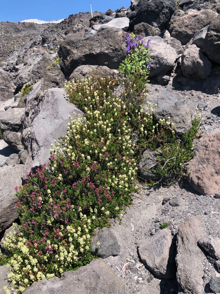
Wildflowers had taken root in the volcanic soil and patches of color burst from between the boulders. We examined ash deposits from various eruptions as we made our way through the lava.
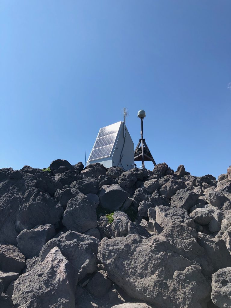
It took us hours to scramble through the boulder field. The gray line of the summit against the crisp, blue sky was visible now and it sang to us like a siren. We kept climbing. At the top of the boulder field, we spied some monitoring equipment left by the USGS to track the volcano’s activities. Several such monitors dot the ridge, hence its name: Monitor Ridge.
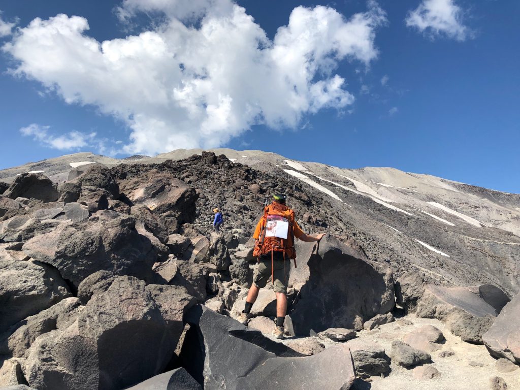
The boulders gave way to gritty, gray ash. For every two steps I took, I slid back one. Two steps, slide back. It was as irritating as hiking up a sand dune. My hiking poles were an absolute necessity here; they helped pull my body weight up that steep slope.
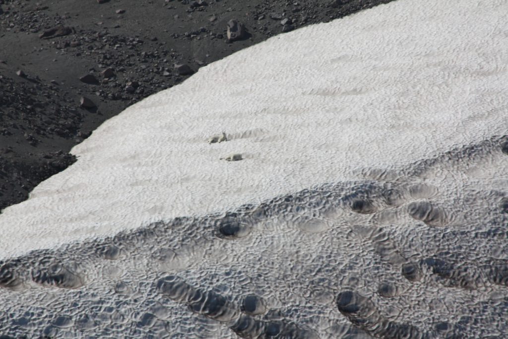
Glaciers stretched down on either side of the faint trail to the summit. White dots moved over the snow to my left. Were my eyes playing tricks on me? No! It was a family of white mountain goats cooling off in the heat of the day.
The views from this high on the volcano were spectacular. Mount Adams sat, tall and mighty, only 30 miles to the east. Snow covered his peak, and clouds clustered around his summit as the afternoon progressed. Down below us, the forest covered rolling hills, old lava flows and ancient lava domes. Yale Lake and Swift Reservoir glittered silver in the sunlight.
At this point, I knew that the summit was no further than ¼ mile from me. It may as well have been a thousand miles away. My body hurt worse than it ever had in my life. That seizure, less than 24 hours before, had really worked me over. Imagine having the flu and hiking despite the exhaustion and muscle aches. My head spun, and I had felt dizzy the entire day, which had caused me to hike slower and second guess every step. I was not out of shape; in fact, being in such good shape certainly had helped my cause.
I’m also known for my sheer stubbornness. Giving up is not in my playbook. And so, I pressed on. Two steps, slide back…
TO BE CONTINUED…
Join us for our next blog post where we reach and explore Mount St. Helens’ summit, and experience a whole new side of the volcano on the way back down.
Copyright © 2019 Volcano Hopper. All rights reserved.
Loved this post? Share it!