Yellowstone: Geyser Basins
Vital Stats
Name: Yellowstone
Type: Supervolcano
Eruption Status: Active
Last Eruption: Approximately 640,000 years ago
Location: Black Sand Basin, Biscuit Basin, Midway Geyser Basin, and Lower Geyser Basin
Approx. 44.4600° N, 110.8292° W
Northwestern Wyoming/Southeastern Idaho

Now that we’ve gotten to see some very impressive geyser action, I’m hooked! I’m stoked to explore the rest of the thermal features in Yellowstone National Park. You too? Well, then, let’s go!
The next stretch of our journey will take us west and north along the southern loop road toward Madison Junction. We will head through four distinct thermal areas: Black Sand Basin, Biscuit Basin, Midway Geyser Basin, and Lower Geyser Basin. Our first stop is only a mile up the road, and I’m ready to explore!
Yellowstone: Mud Volcano, Sulphur Caldron & Hayden Valley
Vital Stats
Name: Yellowstone
Type: Supervolcano
Eruption Status: Active
Last Eruption: Approximately 640,000 years ago
Location: 44.4280° N, 110.5885° W
Northwestern Wyoming/Southeastern Idaho
We continued our journey north from Yellowstone Lake along the Southern Loop Road. The Yellowstone River runs adjacent to the road and here you can find some great fishing spots. LeHardys Rapids is one of them. In the summer months, you can watch the cutthroat trout doing acrobatics as they leap up over these rapids in seach of their upstream spawning grounds. Keep on going through the heavy forest and you’ll come to a section of the park that really stinks.
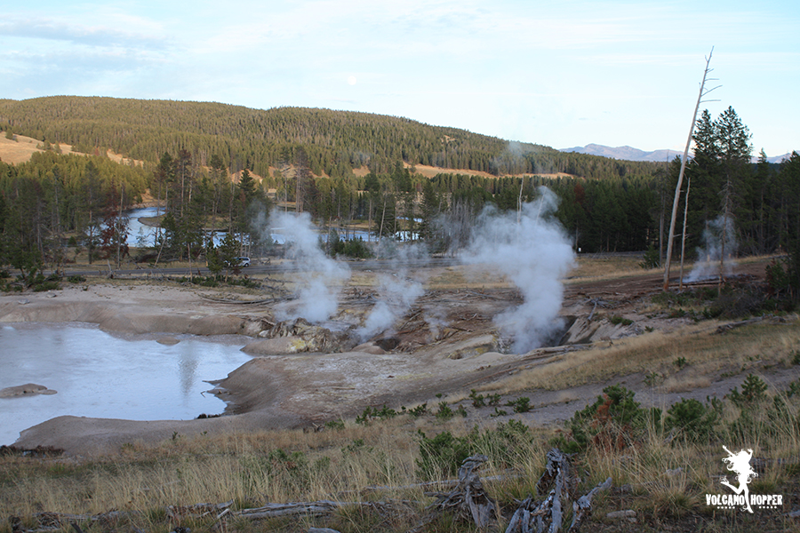
You get out of your car at a place called Mud Volcano. Whewie! I wasn’t kidding, was I? The place smells quite a bit like you left some eggs out on the porch to rot for a month. But the smell should tip you off to some pretty fascinating volcanic features. So let’s go take a look around.


