
Capulin: The Summit
VITAL STATS
Name: Capulin
Type: Cinder Cone
Eruption Status: Extinct
Last Eruption: Approximately 60,000 years ago
Location: 36.7811° N, 103.9695° W
Northeastern New Mexico; Raton-Clayton Volcanic Field
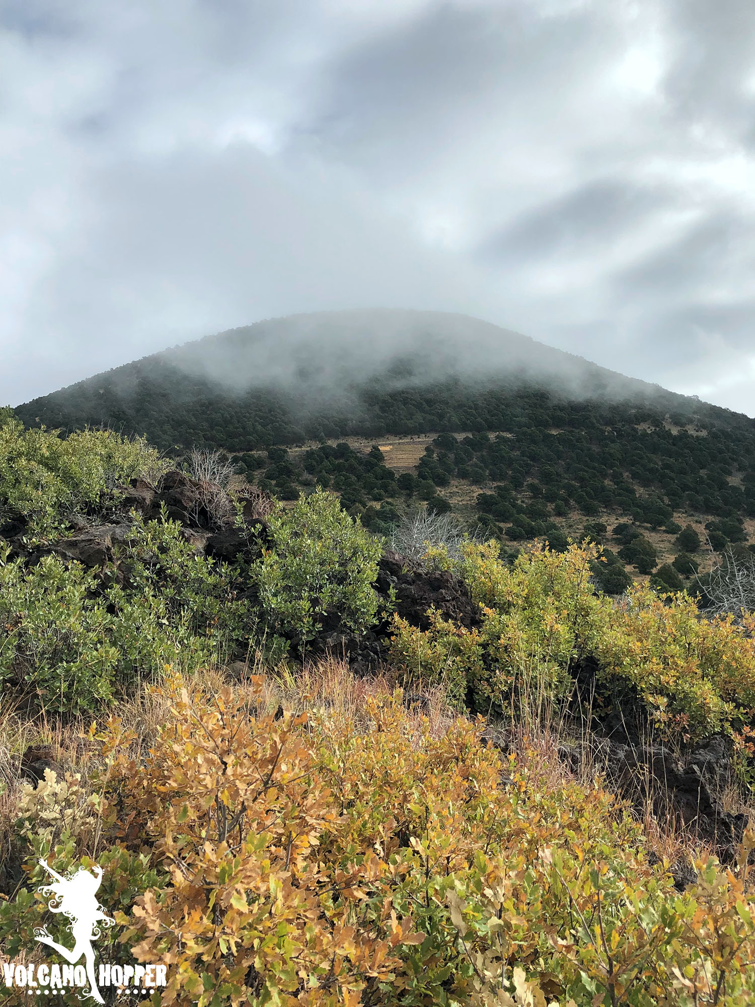
The clouds that enshrouded Capulin’s cone finally began to break around mid-morning. We raced to the summit to see what had been hidden behind the thick mist all morning. What we found was breathtaking.
Capulin’s summit crater is perched over 1,300 feet above the surrounding plains, and the drive to reach it is nothing short of intimidating. If you’re not driving, take a peek out the passenger side window. There are no guardrails and the view is straight down. This cone has virtually no slope. Not intimidating…not at all…
Capulin: The Lava Flow Trail
Vital Stats
Name: Capulin
Type: Cinder Cone
Eruption Status: Extinct
Last Eruption: Approximately 60,000 years ago
Location: 36.7811° N, 103.9695° W
Northeastern New Mexico; Raton-Clayton Volcanic Field
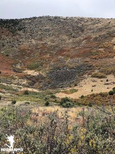
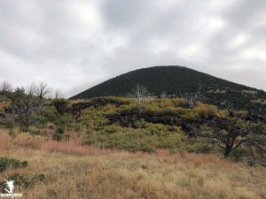
Capulin volcano has 4 lava flows – three of which are absolutely massive. They each started from a vent at the base of the volcano, which has left the stunning cone shape intact. As we waited for the clouds at the summit to lift, we decided to take a hop down the Lava Flow Trail.
This trail is a 1 mile loop through the second lava flow. It only scratches the surface; this flow extends over 2 miles down toward Highway 87! We were anxious to get our boots on the ground and go exploring. So off into the silent, misty morning we went.